.RHMX5Cmf.jpeg)
Flat Rock Gully walk
One of our favourite walks
Saturday 5 November 2022 at 1:00:00 pm AEDT 2 min readMorning walk to Flat Rock Gully - this is within our 5km zone and one of our favourite walks during lockdown.
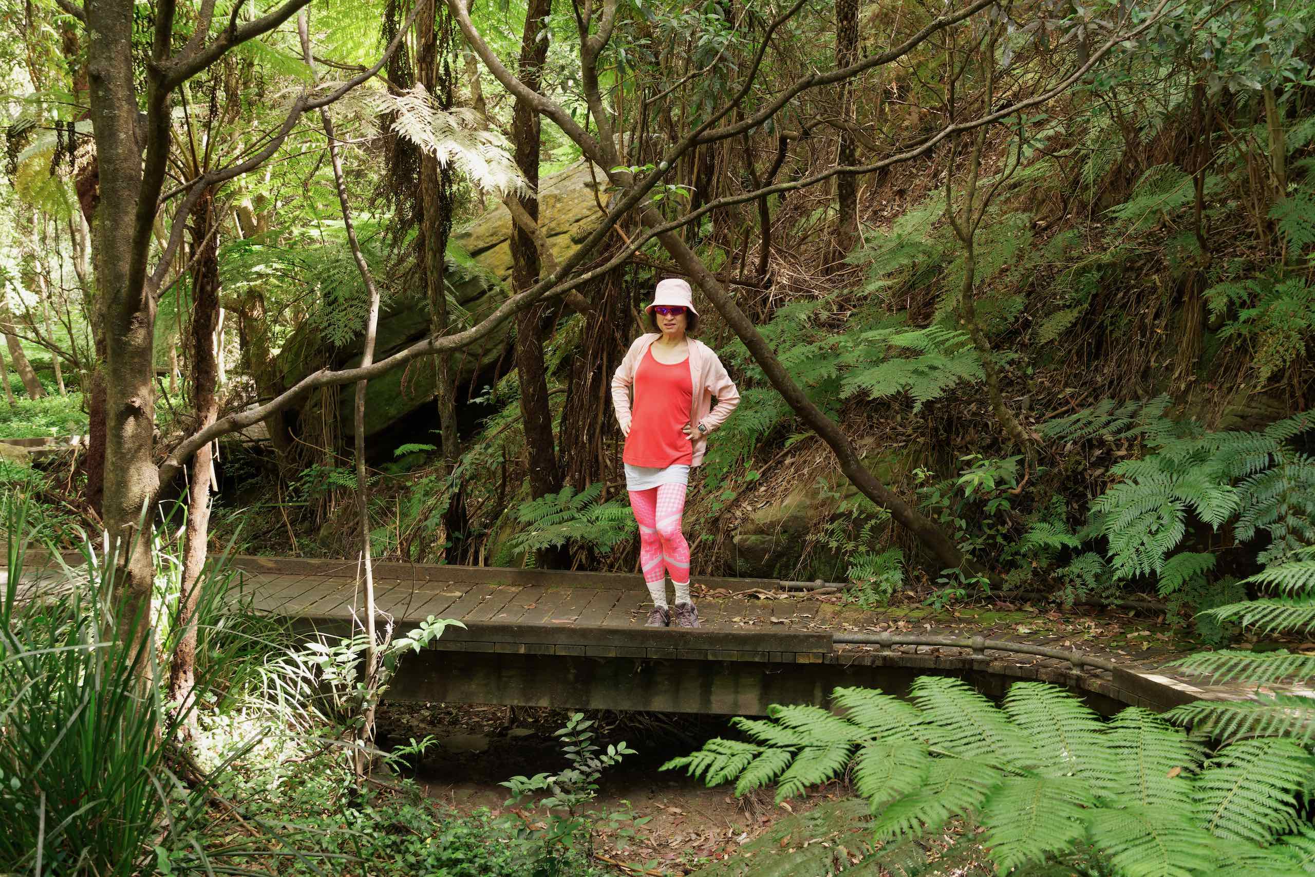
Flat Rock Gully (FRG) is rich in both natural and cultural heritage. The name originates from the large flat rock where the creek was crossed (now hidden under Flat Rock Bridge, Willoughby Road). Remnant bushland, approximately 14 hectares, occurs within the Flat Rock Creek Catchment Area.
Flat Rock Gully is bounded by Flat Rock Drive to the west and extends beyond the historic Cammeray Bridge to the east, adjacent to Tunks Park. Private property backs on to the remaining boundaries of the Reserve.
FRG contributes to a habitat linkage (non-continuous) that includes Tunks Park, Northbridge Park, Cliff Ave Reserve, Bicentennial Reserve and Artarmon Reserve. The Reserve is classified as a Wildlife Protection Area due to having significant habitats that support a wide range of small birds, reptiles and frogs. It is a major and central part to the east-west ecological linkage between Middle Harbour and Lane Cove River Catchments.
Quarrying of sandstone commenced along Flat Rock Creek in the 1880s. Sandstone retaining walls, including the L-shaped walls and drain line below Market St East, were built during the early Depression (c.1930). Terraced gardens and dry walling can be found near the Henry Lawson Cave. Ruins of a pioneer’s cottage exist today.
.qRJJjd9P.jpeg)
.CBFUoZfV.jpeg)
.DZd_Fl-v.jpeg)
.BNVcmhPB.jpeg)
.BJ49QsJU.jpeg)
.zt29O1OU.jpeg)
.Btb_a9Yc.jpeg)
.X4GHBKUN.jpeg)
.Dz2raeYK.jpeg)
.HXrA50o2.jpeg)
.BS7zzBAJ.jpeg)
.8d3VVYyi.jpeg)
.Bc1qWUeP.jpeg)
.BsbXjYEu.jpeg)